

Tokyo’s Earthquake Past Warns of a Violent Future
Uncovering Historical Quakes That Foretell the Risk Beneath Tokyo

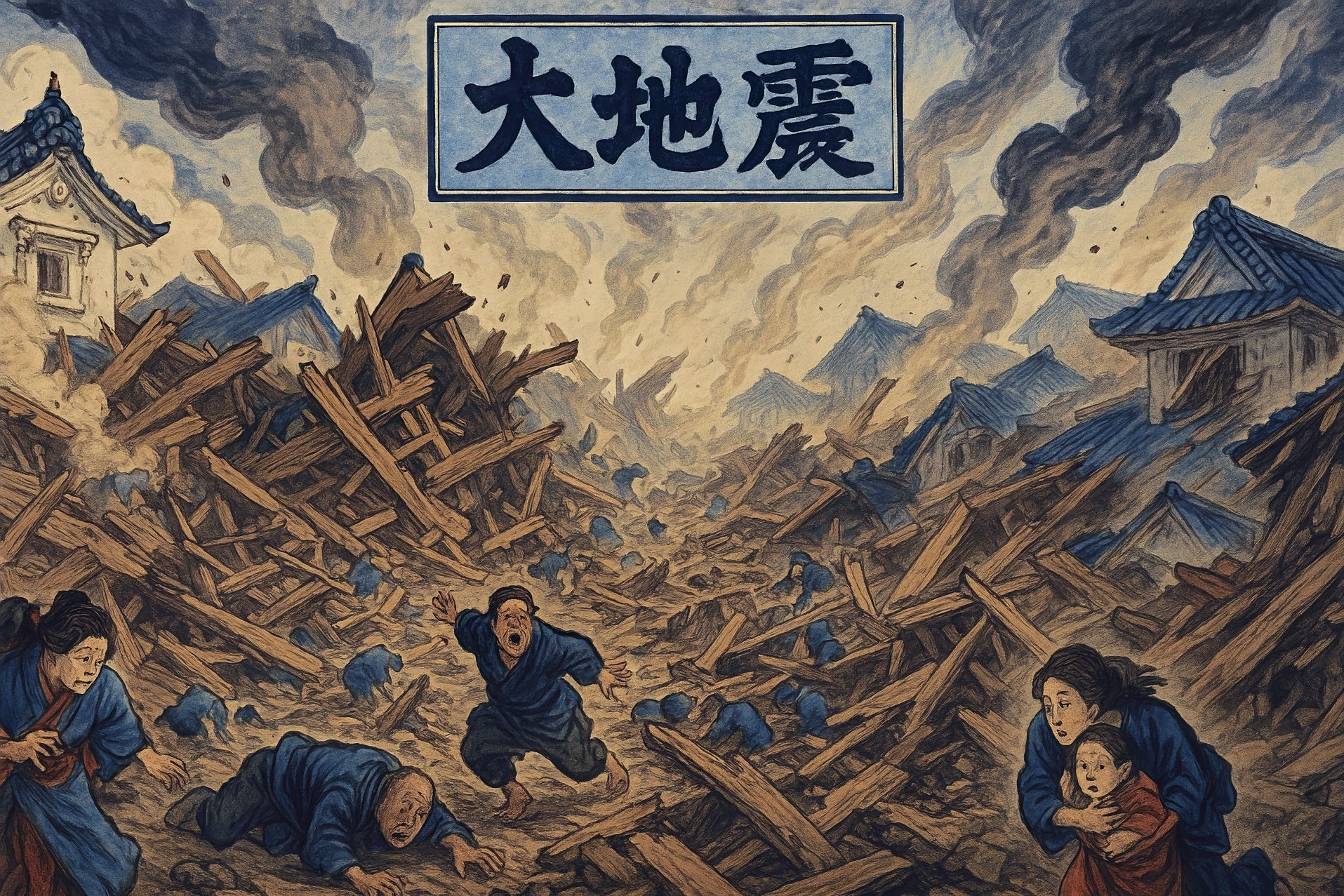
Japan is known as one of the most earthquake-prone countries in the world, with more than 2,000 active faults believed to exist. Throughout history, major social upheavals have often been triggered by earthquakes and volcanic eruptions. Among the most concerning scenarios predicted for Japan’s densely populated regions are two massive earthquakes: “a direct-hit earthquake beneath the Tokyo metropolitan area” (首都直下型地震), and a “Nankai Trough megaquake” (南海トラフ巨大地震) expected to strike western Japan, including areas like Aichi and Osaka. The Tokyo direct-hit quake is estimated to be around magnitude 7, with a 70% probability of occurring within the next 30 years. As for the Nankai Trough earthquake—potentially reaching magnitude 8 to 9—its projected probability was revised in January of this year to 80% within the next 30 years. This event is expected to cause extensive damage across major tourist destinations such as Osaka, Kyoto, and Nara.
Since natural disasters like earthquakes are an inevitable part of life in Japan, Japanese people prepare for them as part of daily life. However, foreign travelers who lack the experience or cultural context to anticipate such events are increasingly being urged to understand these risks before visiting. In this two-part series, we will trace the historical records of these two types of massive earthquakes—those striking beneath Tokyo and those along the Nankai Trough—to offer important context for anyone traveling to Japan. We begin with the earthquakes that have struck the capital region.
The oldest known record dates back to July 818, with the Kōnin Earthquake (弘仁地震). This large quake is believed to have struck near the present-day border of Gunma and Saitama Prefectures, with an estimated magnitude of 7.5. Ancient sources describe landslides, widespread destruction of houses and temples, and numerous fatalities. Although the capital at the time was Kyoto, the fact that such a major quake was recorded in the Kanto region is historically significant.
Next came the Sagami-Musashi Earthquake (相模・武蔵地震) in November 878. This magnitude 7.4 earthquake affected the entire southern Kanto area. The exact epicenter remains unknown, but large tremors were felt in Sagami (modern Kanagawa) and Musashi (modern Tokyo and Saitama), with many reported deaths. Some records suggest that a tsunami may have occurred, although details are unclear. Because the central government was located in Kyoto during the height of aristocratic rule, detailed records from the Kanto region are limited, but later studies have estimated the quake’s scale.
Then came the Kamakura Earthquake (永仁鎌倉地震) in May 1293. This was a devastating quake that directly struck Kamakura, the political center of Japan at the time. With an estimated magnitude exceeding 7, it caused the deaths of more than 23,000 people. Thought to have originated along a plate boundary in Sagami Bay, the quake caused widespread collapse and fires across Kamakura, along with major landslides. This chaos even led to a military coup within the shogunate, showing how deeply it shook the power structure of the Kamakura regime. In a period when the Kanto region was the center of military government, the quake had a profound societal impact.
Other notable events in the region include the Shōka Earthquake of 1257 (正嘉地震, approx. M7) and the Eikyō Earthquake of 1433 (永享地震, over M7). Both are believed to have been inland earthquakes beneath the Kanto region, with some accounts suggesting tsunamis as well. Although records from the medieval period are fragmented, they collectively indicate that large earthquakes have occurred in the Kanto region every few centuries, often disrupting society.
From the Edo period onward, historical records become more reliable. The Genroku Earthquake (元禄関東地震) struck on December 31, 1703, hitting southern Kanto with an estimated magnitude of 8.1 to 8.4. This megathrust quake along the Sagami Trough struck late at night in the middle of winter, producing intense shaking across the region. In Edo (now Tokyo), the tremors reached an estimated seismic intensity of upper 6 on the Japanese scale, causing many buildings to collapse. A massive tsunami followed, devastating coastal areas from the Bōsō Peninsula (Chiba Prefecture) to the Izu Peninsula. More than 10,000 people died, with over 6,500 in the Bōsō area alone. More than 5,000 homes were swept away. The Edo shogunate initiated early disaster relief efforts, mobilizing regional lords for recovery and setting a precedent for modern disaster management.
Adding to the sense of dread, the eruption of Mount Fuji in 1707 occurred shortly thereafter. The Genroku Earthquake and the 1923 Great Kantō Earthquake occurred roughly 220 years apart, suggesting that massive earthquakes along the Sagami Trough may recur on a centuries-long cycle, possibly putting the next one around the 2140s.
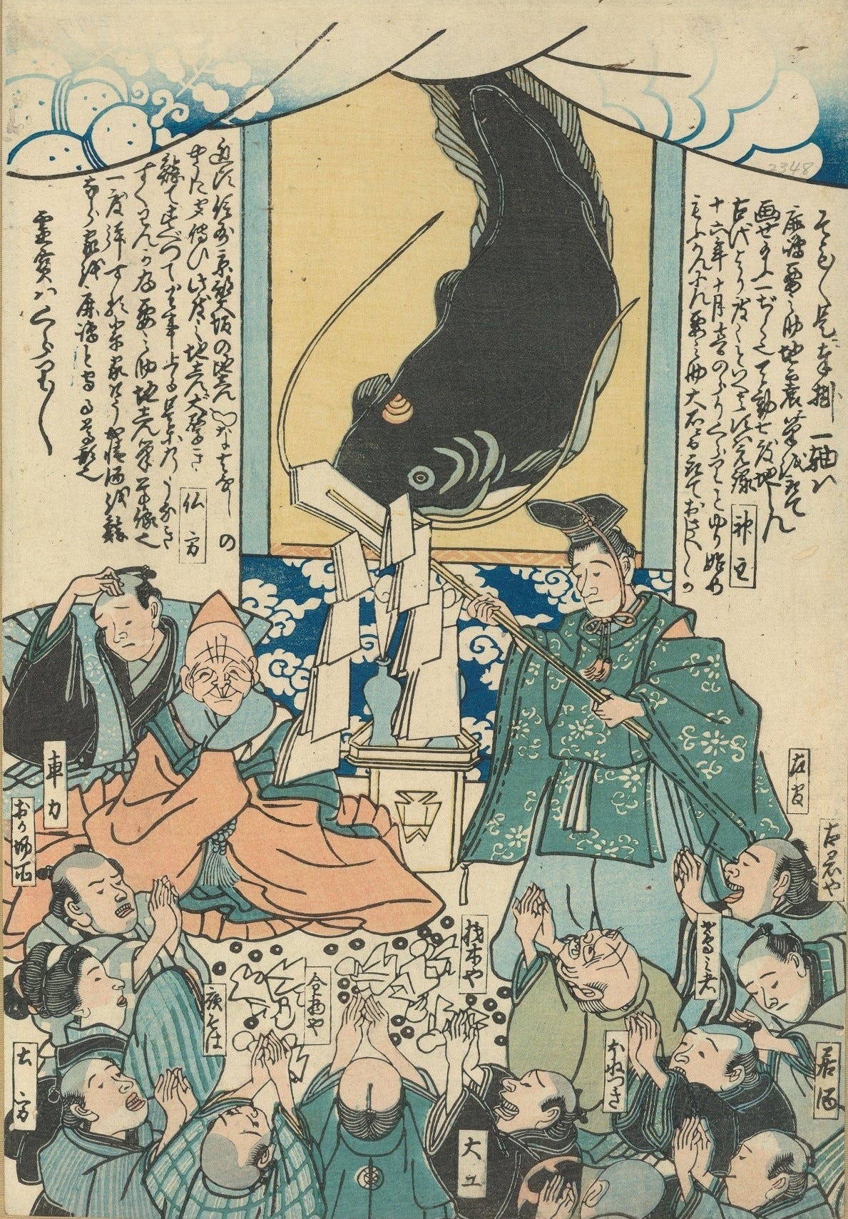
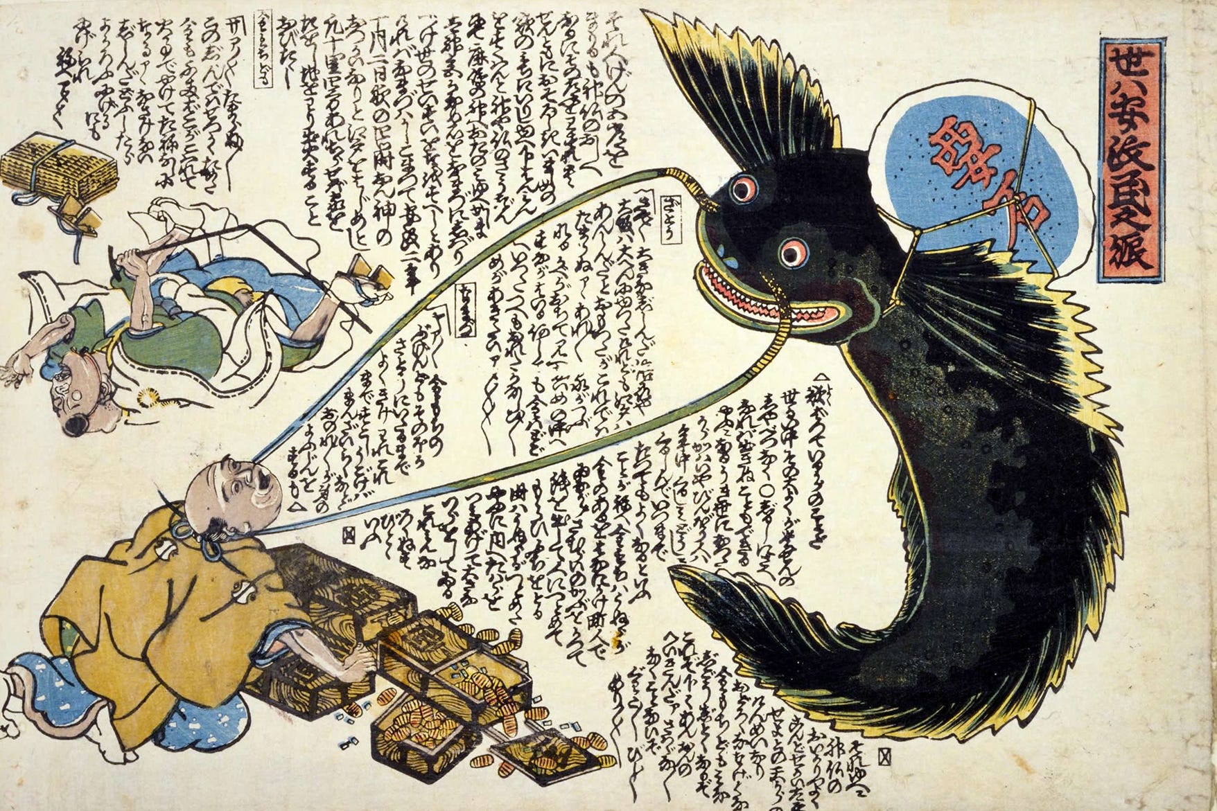
Then came the Ansei Edo Earthquake (安政江戸地震)on November 11, 1855, during the late Edo period. This magnitude 6.9 to 7.1 direct-hit quake struck beneath northern Tokyo Bay. Around 10 p.m., violent shaking collapsed many homes and triggered multiple fires across Edo. The most severe destruction occurred in densely packed wooden neighborhoods, particularly in areas like Fukagawa (present-day Kōtō Ward), where fatalities are estimated to have reached around 10,000. About 80% of buildings were damaged. Coming just one year after the Ansei Tōkai and Nankai Earthquakes (安政東海・南海地震) of 1854, this event sparked widespread fear among both government and citizens. In its aftermath, Edo saw a boom in “namazu-e” (鯰絵, catfish-themed disaster prints) that reflected the public’s anxiety and served as fundraising tools for relief. Politically, the quake also eroded the authority of the shogunate amid growing instability.
Moving into the modern era, the Meiji Tokyo Earthquake (明治東京地震) occurred on June 20, 1894. This magnitude 7.0 quake struck beneath northern Tokyo Bay, near the mouth of the Arakawa River, at a depth of approximately 40 km. The tremor caused strong shaking in Tokyo and Yokohama. The famous western-style Ryōunkaku tower in Asakusa was damaged. The disaster resulted in 31 deaths—24 in Tokyo and 4 in Yokohama—and 157 injuries. A total of 130 buildings were destroyed or severely damaged. Most damage occurred to brick and western-style buildings, earning it the nickname “the Chimney Earthquake.” For the newly established Meiji government, this disaster increased awareness of the need for earthquake-resistant construction. Since the modern era began, M7-class direct-hit quakes have occurred every few decades, with an average interval of around 24 years.
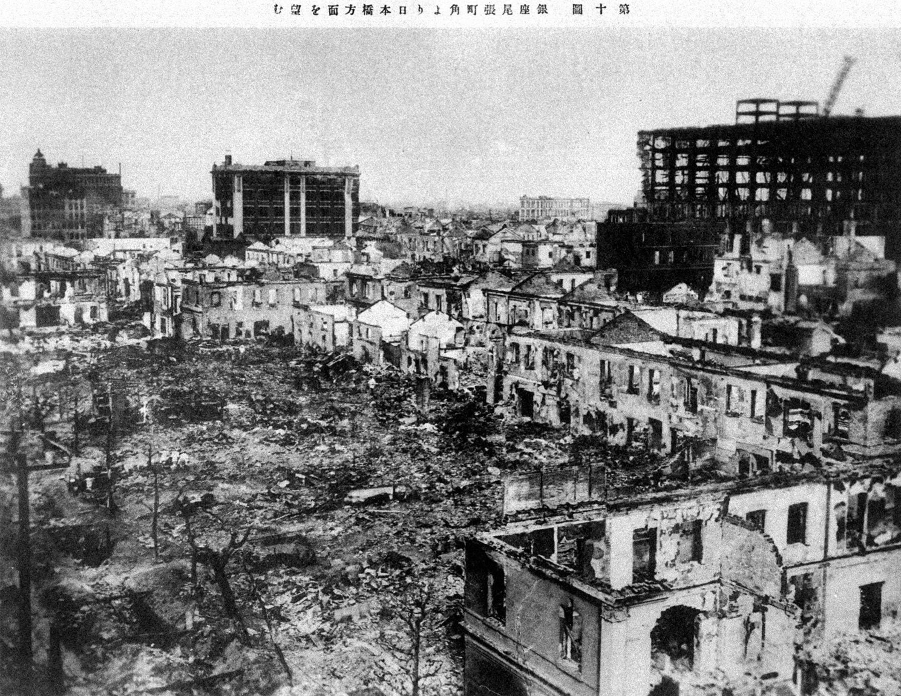
The most devastating event occurred nearly a century ago, on September 1, 1923: the Great Kantō Earthquake (関東大震災). With a magnitude of 7.9, it remains one of the deadliest natural disasters in Japanese history. The quake struck along the Sagami Trough for the first time in 220 years since the Genroku Earthquake. Occurring just after noon, when many households were cooking lunch, and with strong winds from an approaching typhoon, the quake caused fires to break out across Tokyo. These fires quickly became uncontrollable, leading to an enormous death toll. The total number of deaths and missing persons reached approximately 105,000, including an estimated 92,000 from fires and 13,000 from building collapses and other causes. A tsunami followed, impacting areas from the Bōsō Peninsula to the Izu-Sagami coast and killing several hundred more. The resulting social unrest is believed to have indirectly contributed to future events such as the Manchurian Incident of the 1930s.
Nonetheless, the Great Kantō Earthquake prompted a dramatic shift in Japan’s disaster response policies. The Imperial Capital Reconstruction Agency was established, fire-resistant construction was promoted, and urban planning was revised. In 1924, Japan introduced its first seismic building codes with a revised City Planning Law. Although no megathrust earthquakes have struck the capital since then, the government’s Earthquake Research Committee estimates a 70% probability of a direct-hit quake within the next 30 years, emphasizing the importance of learning from history and preparing accordingly.
From the historical records examined here, two main types of earthquakes threaten the Tokyo area: (1) megathrust earthquakes along the Sagami Trough (around M8), and (2) inland direct-hit earthquakes (around M7).
The former, such as the Genroku and Great Kantō Earthquakes, are believed to recur every 200 to 300 years. The latter, though smaller in magnitude, originate at shallow depths beneath the city and can cause severe damage, particularly when compounded by fires. Historically, there have been periods of heightened seismic activity, such as between the late Edo and early Taishō eras (1855 → 1894 → 1923), during which direct-hit quakes occurred roughly every few decades. While irregular, these events clearly repeat, making ongoing preparation essential for residents and visitors alike.
In other words, travelers to Tokyo and the greater Kanto area should always assume the possibility of a magnitude 7-class earthquake. During the 2011 Great East Japan Earthquake, I happened to be in a Tokyo business district and still remember how fountains overflowed, buildings swayed, and people panicked—even though that quake registered a seismic intensity of 5+ in the city. A direct-hit M7-class quake in Tokyo—something no living Japanese person has experienced—would be far more destructive.
This overview merely scratches the surface, but it underscores the importance of mental and physical preparation for anyone visiting Japan. In the next article, we will examine the history of massive earthquakes predicted to strike western Japan from the Nankai Trough.